Point cloud → CAD
Scan-to-CAD
We turn 3D laser-scan point clouds into clean, layered 2D CAD - accurate plans, elevations and sections registered to the scan, for complex and detailed buildings across Asheville and Western North Carolina.
A point cloud is only useful once it becomes drawings people can work from. Scan-to-CAD is that step: registering the scan and drafting clean, layered 2D CAD traced to what was actually captured.
It suits complex, detailed or hard-to-measure buildings, and it works whether we capture the scan for you or you already have a point cloud. Serving Asheville and Western North Carolina. See also 3D laser scanning for the on-site capture.
What's included
Deliverables
- Registered point cloud as the measured base
- Layered 2D CAD plans, elevations and sections
- Drawings traced to the scan, not assumed
- A consistent layer structure for the next stage
- Layered DWG traced from the scan
- Scaled PDF set
- Point cloud in a shared format on request
Typical inputs
What we need
- 01 An existing point cloud, or a scan we capture
- 02 The drawings and scales you need
- 03 The level of detail required
Sample sheets
A sense of the output
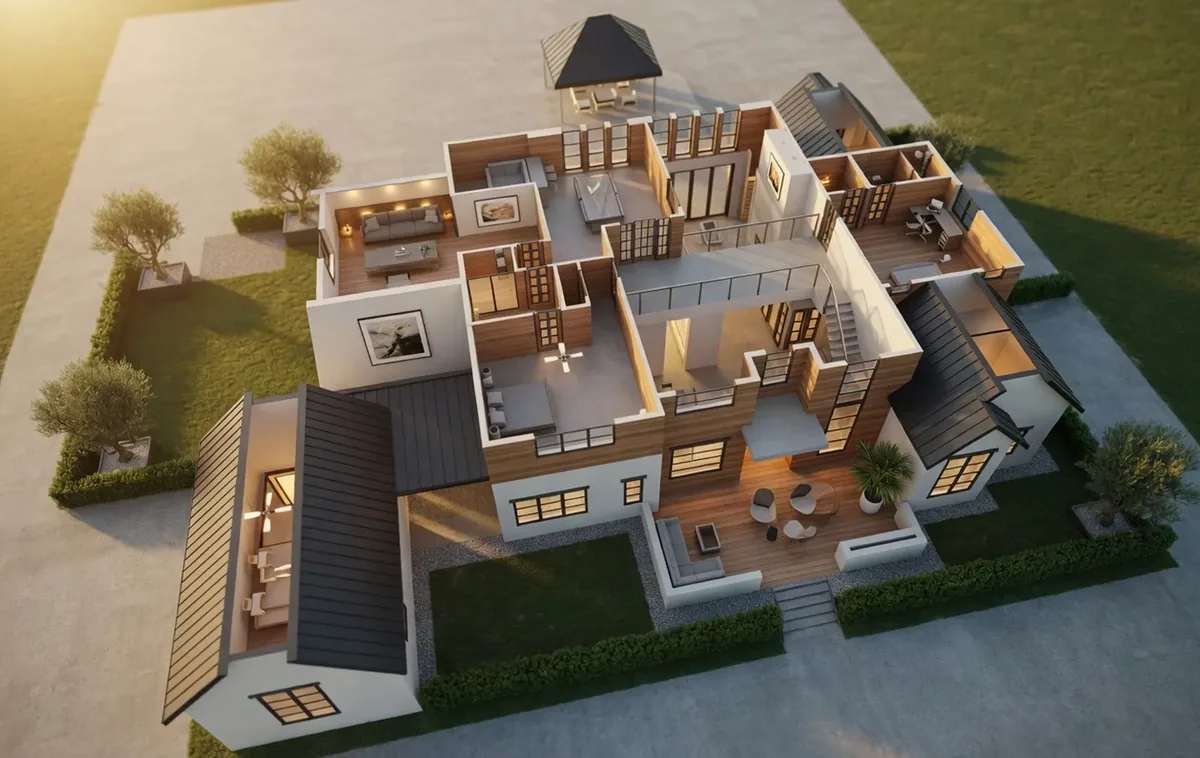
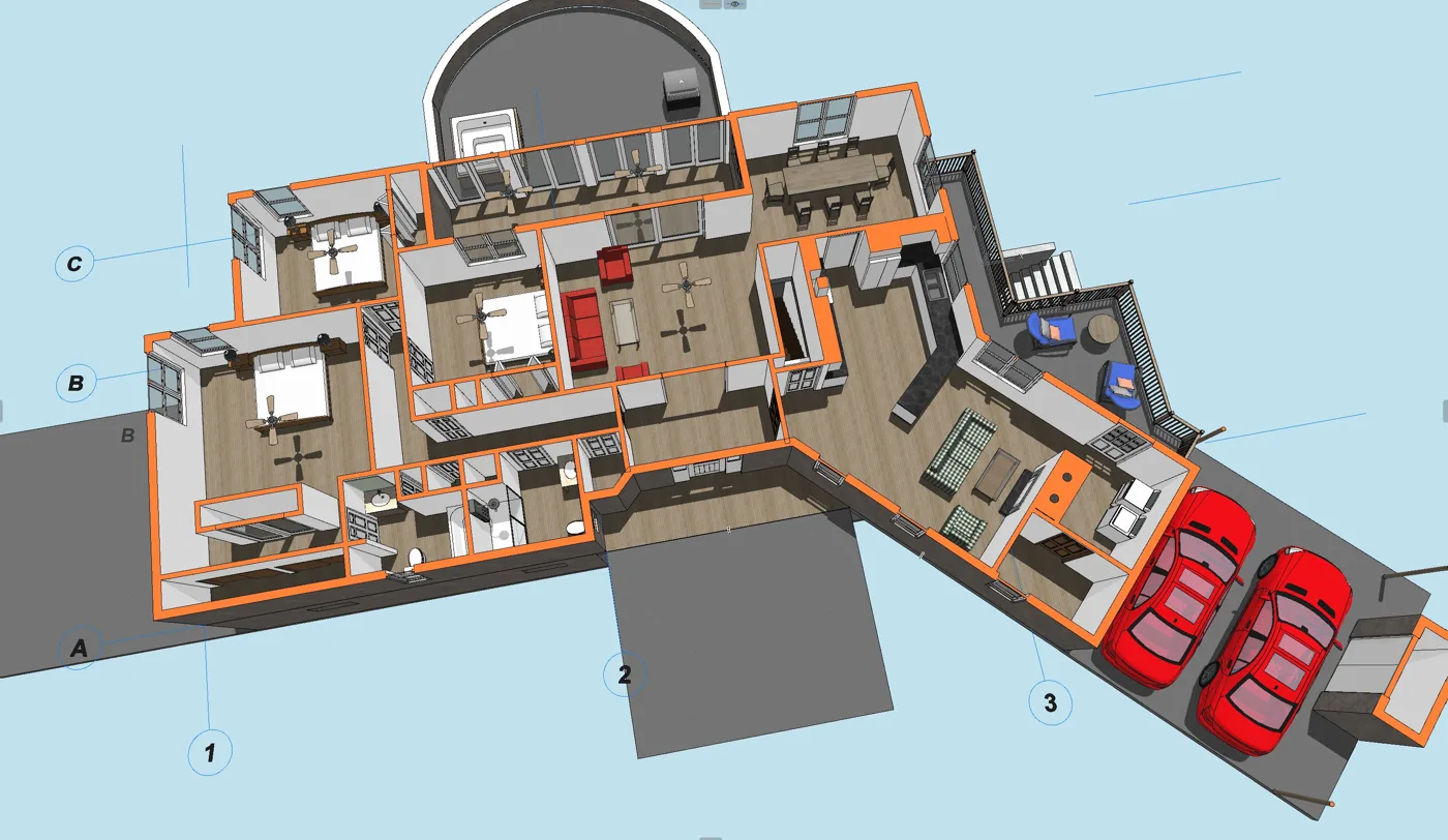
Recent work for this service. Client names and property addresses have been removed.
Specification
How the work is measured and delivered
- Accuracy
- Drawings traced to a registered laser scan, to the tolerance the project requires.
- Scales
- 1/8" = 1'-0" · 1/4" = 1'-0"
- Formats
- DWG · PDF · Point cloud
- Method
- Register the scan, then draft layered 2D CAD from the point cloud.
Use cases
Where this service fits
Complex existing buildings
Ornate, irregular or heavily serviced spaces captured once and drawn accurately from the scan.
A reliable CAD base
A layered drawing set traced to the point cloud, ready for design, coordination or documentation.
Working from your scan
Already have a point cloud? We can register it and produce clean CAD without re-visiting the site.
Fees
Quoted per project
Every project is quoted individually. Three things move the fee:
- 01 Building size and complexity
- 02 Whether we capture the scan or work from yours
- 03 The drawings, scales and detail required
Usually confirmed within one business day.
Questions
About Scan-to-CAD
Can you work from a point cloud we already have?
Yes. We can register and work from an existing point cloud and produce clean, layered CAD without needing to re-scan, provided the coverage and quality are sufficient.
What is the difference between this and 3D laser scanning?
Laser scanning is the on-site capture; scan-to-CAD is turning that point cloud into usable 2D drawings. We offer both, together or separately.
Which CAD format do you deliver?
Layered AutoCAD DWG as standard, with scaled PDFs. The point cloud can be shared in a common format on request.
Related work
Recent work from the practice
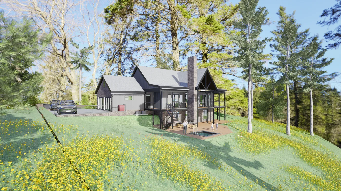
Mountain home - HOA review presentation
Landrum, SC
Presentation renderings and drawings prepared for HOA architectural review of a custom mountain home.
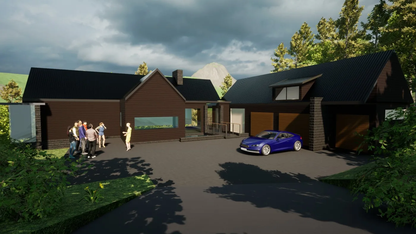
Custom mountain home - design visualization
Western North Carolina
Design visualization of a custom mountain home, developed from measured drawings into a presentation-ready 3D view.
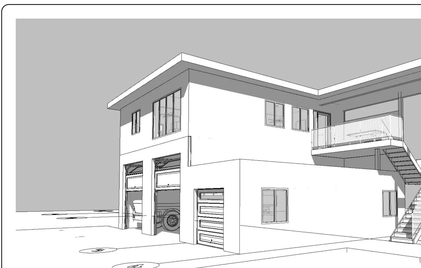
Studio & garage - design and drawings
Flat Rock, NC
Design and construction drawings for a two-story studio and garage, with elevations and a 3D model.
You might also need
Pairs well with
3D laser scanning
Registered point clouds and scan-derived drawings for complex or detailed buildings.
View service Redraw · VectorizeCAD drafting
Clean, layered CAD drawings produced from your sketches, PDFs or old drawings.
View service 1/4" · 1/8"As-built documentation & floor plans
Dimensioned floor plans, elevations and sections drawn from a full on-site measure.
View serviceStart a project
Tell us about your property and what the drawings are for
Send the address, floor area or stories, and your deadline. We'll confirm scope, format and a clear price - usually within one business day.
“MeasuredPlan gave us a clear starting point for our renovation. The site visit was professional, communication was easy, and the final measured plans were simple to share with our contractor and design team.”