Point cloud · Scan-to-BIM
3D laser scanning
3D laser scanning captures a building as a dense, measurable point cloud. It suits complex, detailed or historic buildings where a full record supports drawings, models and coordination.
Scanning is the right tool when a building is complex enough that a full, measurable record pays for itself - in historic work, detailed renovations, or anywhere a model will follow.
We register and clean the data before drawing, so the outputs are accurate and the cloud remains a dependable reference for the life of the project. Need the point cloud turned into 2D drawings? See scan-to-CAD.
What's included
Deliverables
- Registered point cloud of the scanned areas
- Scan-derived floor plans, elevations and sections
- Scan-to-BIM model on request
- A measurable record for later reference
- Registered point cloud (RCP / E57)
- DWG drawings derived from the scan
- IFC / Revit model on request
Typical inputs
What we need
- 01 Access to all areas to be captured
- 02 The deliverable required - drawings, model or cloud
- 03 Any level-of-detail requirements
Sample sheets
A sense of the output
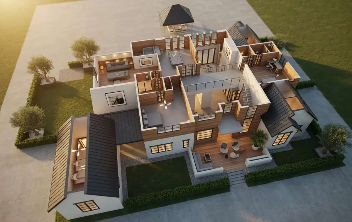
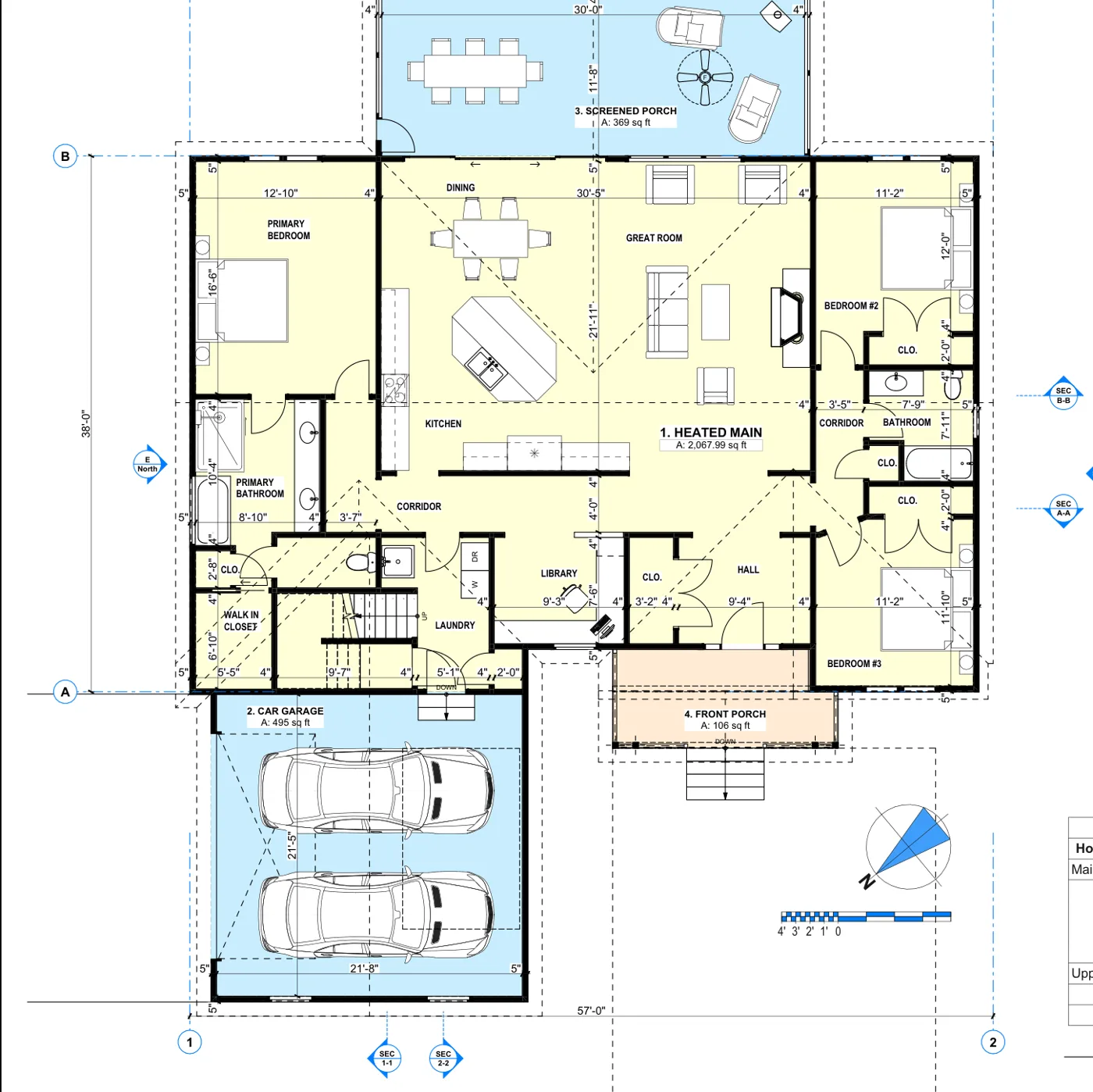
Recent work for this service. Client names and property addresses have been removed.
Specification
How the work is measured and delivered
- Accuracy
- Captured to instrument tolerance and registered as a single dataset.
- Scales
- 1/4" = 1'-0" · 1/8" = 1'-0"
- Formats
- E57 · RCP · DWG · IFC
- Method
- Terrestrial laser scanning, registered and cleaned before drawing production.
Use cases
Where this service fits
Complex and historic buildings
A complete measurable record where hand measurement would be slow or incomplete.
Scan-to-BIM
A reliable basis for an existing-conditions model that consultants can build on.
Coordination and clash review
An accurate as-built dataset for checking design against reality.
Fees
Quoted per project
Every project is quoted individually. Three things move the fee:
- 01 Number of scan positions and building size
- 02 Level of detail and deliverable type
- 03 Registration and modeling requirements
Usually confirmed within one business day.
Questions
About 3D laser scanning
When is scanning better than a hand measure?
For complex, ornate or large buildings, or where a full measurable record is valuable later, scanning captures more in less on-site time.
Can you deliver a BIM model?
Yes. We can produce a scan-to-BIM model to an agreed level of detail, or supply the cloud for your team to model from.
What point cloud formats do you provide?
Registered E57 or RCP as standard, with drawings and models derived from the same dataset.
Related work
Drawings of this type
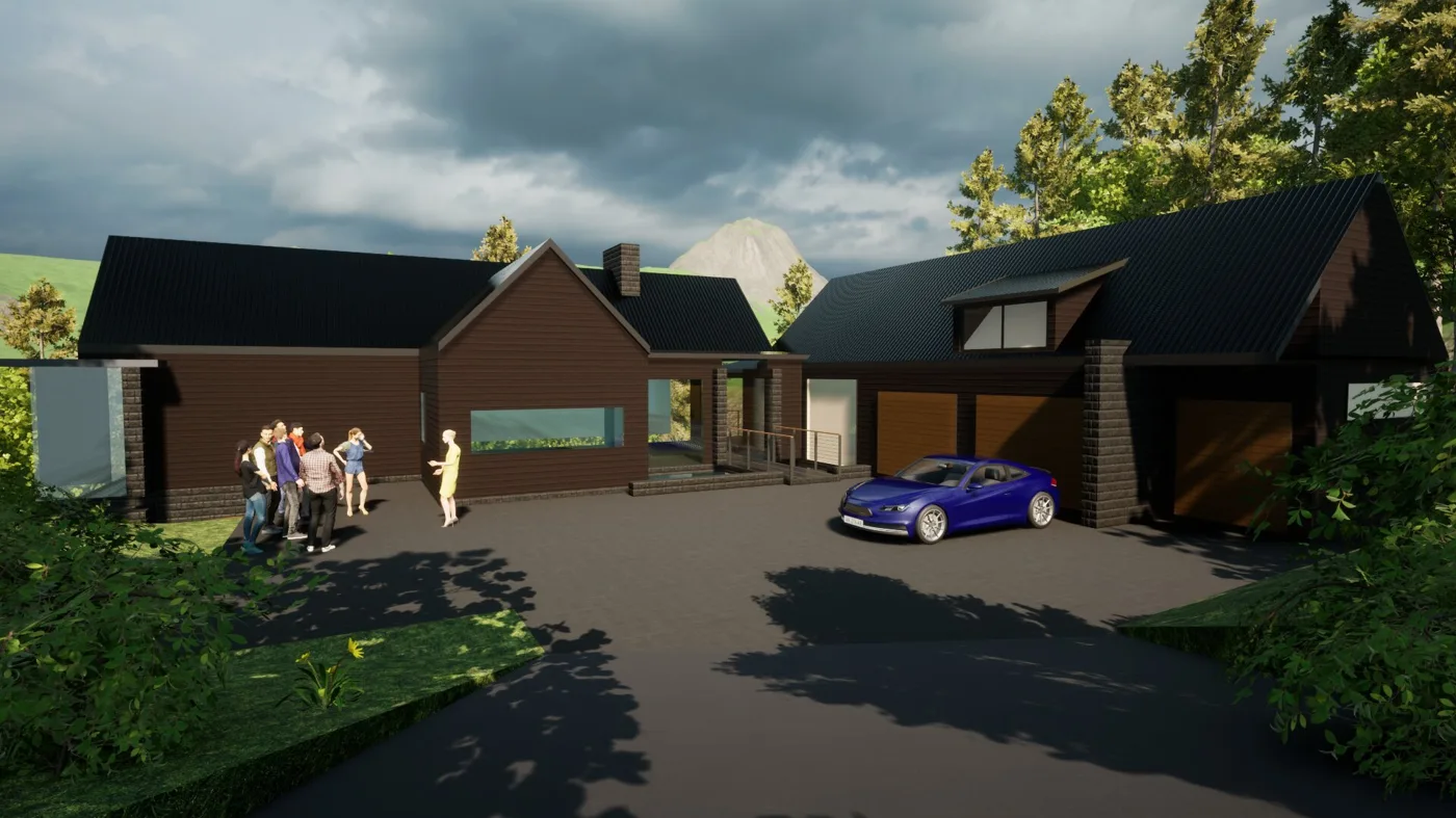
Custom mountain home - design visualization
Western North Carolina
Design visualization of a custom mountain home, developed from measured drawings into a presentation-ready 3D view.
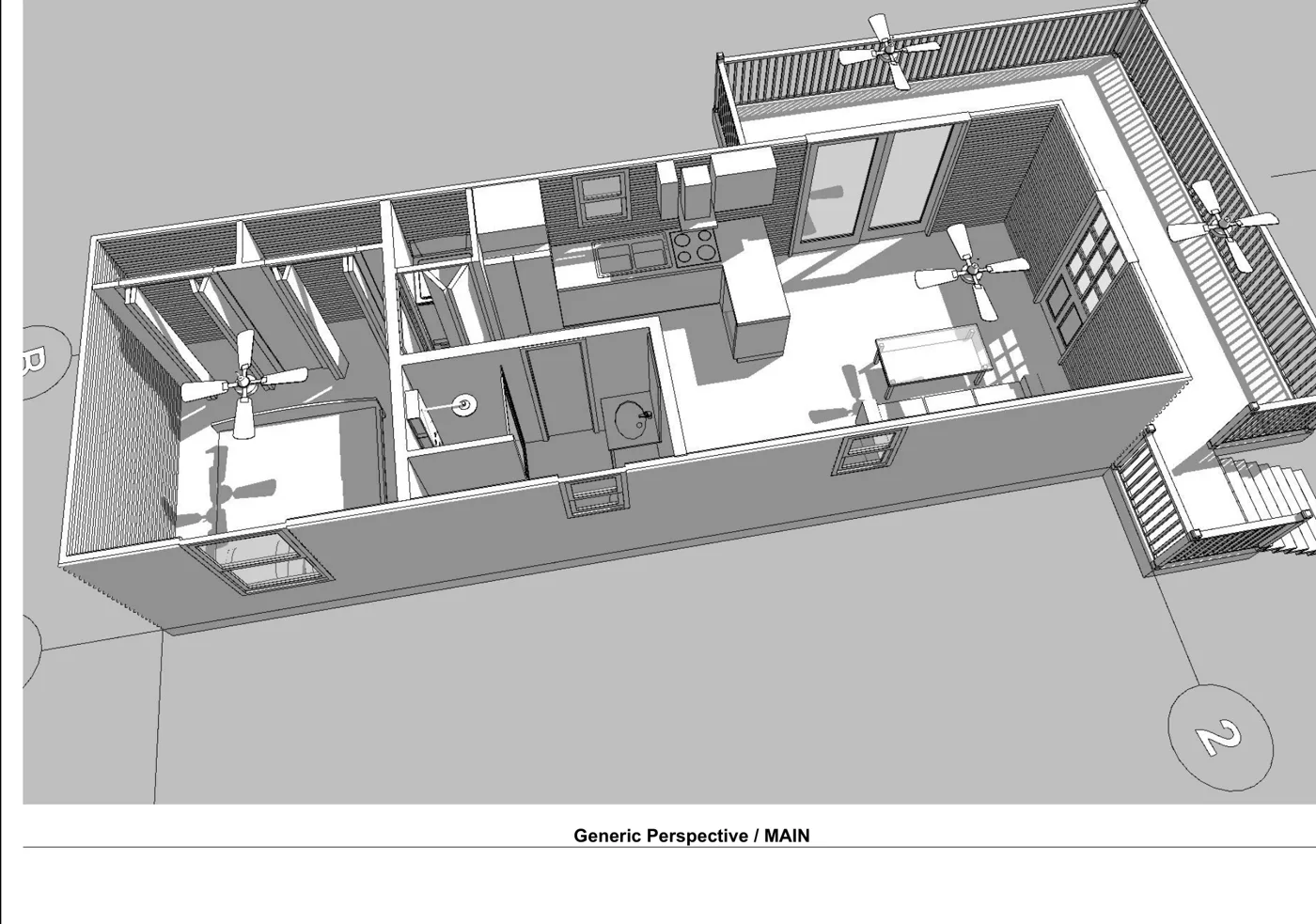
Mountain home - as-built 3D model
Spruce Pine, NC
As-built documentation of a mountain home, delivered as a 3D model and dimensioned floor plans.
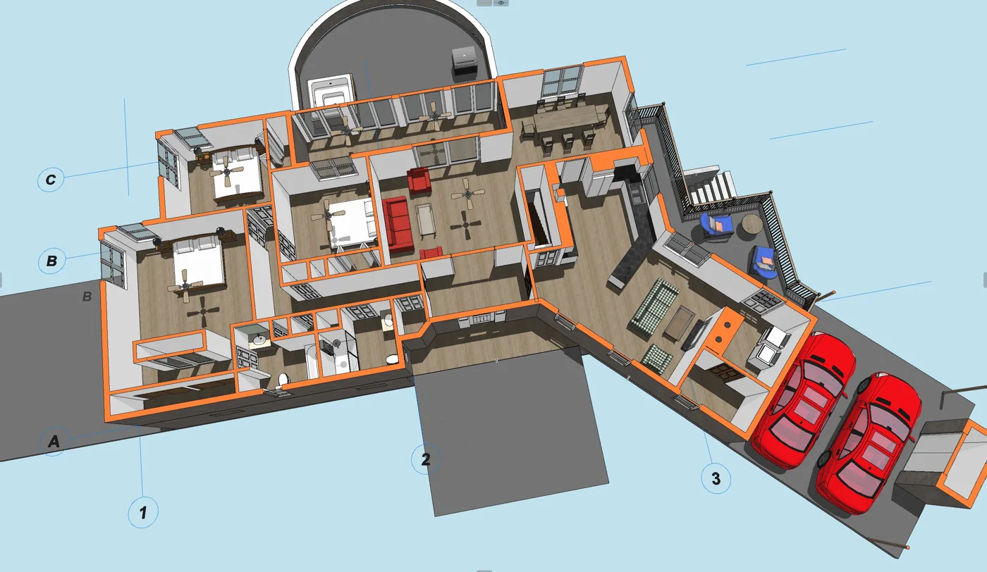
Hillside home - as-built 3D model
Mars Hill, NC
As-built documentation of a multi-level hillside home in Madison County, returned as dimensioned plans and a 3D model.
You might also need
Pairs well with
Scan-to-CAD
Laser-scan point clouds turned into clean, layered 2D CAD and drawings, in Asheville and Western North Carolina.
View service 1/4" · 1/8"As-built documentation & floor plans
Dimensioned floor plans, elevations and sections drawn from a full on-site measure.
View service Redraw · VectorizeCAD drafting
Clean, layered CAD drawings produced from your sketches, PDFs or old drawings.
View serviceStart a project
Tell us about your property and what the drawings are for
Send the address, floor area or stories, and your deadline. We'll confirm scope, format and a clear price - usually within one business day.
“MeasuredPlan gave us a clear starting point for our renovation. The site visit was professional, communication was easy, and the final measured plans were simple to share with our contractor and design team.”